Serra do Barroso
Serra do Barroso is a rugged, mountainous area in the Trás-os-Montes region defined by granite outcrops, traditional mountain agriculture, and communal grazing practices. It remains a low-impact highland region for travelers seeking solitude.
An alternative to the busier national parks for those prioritizing rural isolation in northern Portugal.

Why go
The region displays the 'baldios'—common land managed by local communities—and a traditional agro-pastoral ecosystem. The terrain consists of granite ridges, streams, and meadows.
Why you might skip it
Skip this if you require tourism infrastructure, established high-adventure activities, or public transport access. The terrain is difficult, services are sparse, and weather shifts rapidly.
What to do
Traverse the network of walking trails around Boticas and the higher peaks, which cross agricultural terraces and grazing lands. Trails are moderate to strenuous and involve navigating rocky, uneven terrain.
History & origin
The Serra do Barroso has been shaped by transhumance and communal management of mountain pastures. It was designated a protected landscape due to its geological features and the persistence of farming traditions that have declined in other regions of Europe.
Getting there & around
Access via the A24 motorway, exiting at Boticas, followed by narrow, winding secondary mountain roads.
Requires a reliable GPS, physical topographic maps, and a vehicle capable of navigating steep, narrow, and occasionally unpaved mountain tracks.
Common planning mistakes
Underestimating the terrain difficulty and failing to carry sufficient water or supplies, as shops and cafes are limited to Boticas and neighboring hamlets.
Less ideal for
Families with young children, casual walkers requiring groomed paths, and travelers expecting nearby luxury amenities.
Practical notes
Wear sturdy hiking boots and carry a windbreaker regardless of the forecast. Inform a local contact of the planned route before entering higher elevations.
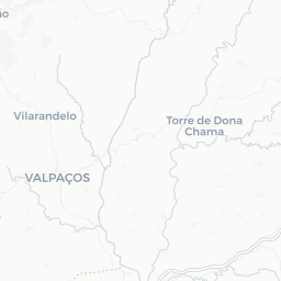
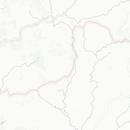
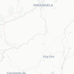
Where it sits




More outdoors in Porto & North

Caminho Português
The Portuguese Way of St. James — the pilgrim route from Porto (or Lisbon) north into Spain and Santiago de Compostela.

Douro Valley scenic drive (N222)
The N222 follows the Douro River through Portugal's primary wine region. The road passes directly beneath the terraced vineyards that characterize this UNESCO World Heritage landscape.

Montesinho Natural Park
Montesinho Natural Park occupies the remote northeast corner of Portugal, encompassing high-altitude plateaus, deep river valleys, and chestnut forests. It functions as a protected area for Iberian wolf populations and stone-built villages operating on long-standing communal agricultural practices.

Passadiços do Paiva
Wooden walkways bolted to the gorge of the Paiva river — one of Portugal's most popular outdoor attractions.

Peneda-Gerês National Park
Portugal's only national park — granite peaks, ancient villages, wolves (rarely seen), waterfalls and wild swimming pools.
We may earn a commission from bookings made through these links. It never changes what we recommend, or what we leave out.