Praia da Nazaré
A long beach beneath the Sítio headland; the south end is suitable for swimming, while the northern stretch contains the break for the Atlantic's large-scale waves.
Nazaré is for those monitoring the surf for high-magnitude swells or travelers preferring a town center set directly against high cliffs.

Why go
The shoreline is divided by geography: the southern beach serves as the primary swimming area, while the northern Praia do Norte hosts extreme wave conditions.
Why you might skip it
Strong rip currents and heavy surf characterize the northern portion of the beach, rendering the water dangerous for swimmers outside the designated southern zones. The sand remains exposed to powerful Atlantic winds, which create uncomfortable conditions for sunbathing during the afternoon. Intense crowds congregate throughout the peak summer months, making the shoreline difficult to navigate and private space scarce. The steep topography of the town limits internal movement for those with reduced mobility, while the constant roar of the ocean persists throughout the night.
What to do
Observers monitor the northern horizon for swell activity that characterizes the canyon-driven surf. Swimmers use the southern designated zones protected by breakwaters. Walkers follow the promenade that stretches the length of the town, connecting the central markets to the base of the funicular lift. Local fishermen mend nets on the sand near the port, providing a view of the traditional boat culture that persists alongside the modern surfing industry.
Getting there & around
The beach is central to Nazaré town, accessible on foot from the promenade. Reach the town by car via the A8 motorway or by the frequent express bus service from Lisbon's Sete Rios station; parking near the sand becomes difficult during summer weekends.
Common planning mistakes
The belief that swimming is permitted across the entire stretch of beach leads to frequent water rescues, as the northern sections possess deceptive currents and depth changes. Relying solely on street parking in the town center results in significant delays, as the narrow, winding streets lack adequate capacity for standard tourist vehicles. Missing the morning hours limits visibility and calm conditions, as the afternoon wind creates turbulence that obscures the view of the horizon and disrupts sand-based recreation activities.
Practical notes
The A8 motorway provides the most direct route from the south, with ample parking situated on the town outskirts. Public buses arrive daily from Sete Rios station in Lisbon. Public toilets and showers are situated at intervals along the promenade. Flag systems indicate daily water safety conditions; red flags signify that swimming is prohibited due to dangerous rip currents or high-surf hazards.
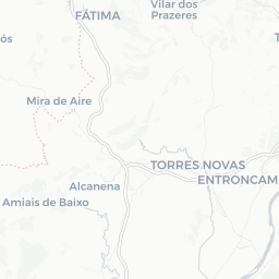
Where it sits


More beaches across Portugal

Costa da Caparica
A 30-km wall of sand and beach breaks south of Lisbon — the city's surf-and-sun capital, with beach bars from summer to the last warm October days.

Praia da Adraga
A wild cliff-backed beach on the Sintra coast, with a sea arch and a small waterfall.
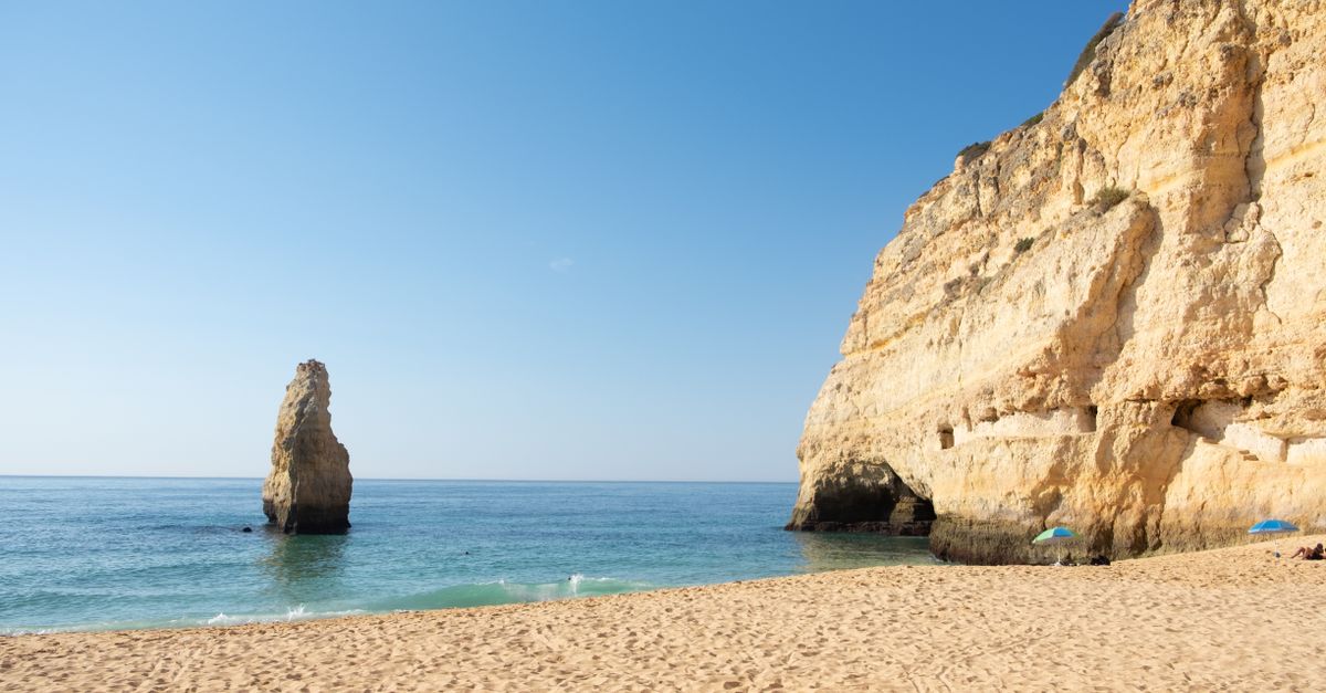
Praia da Armona
An empty barrier-island beach reached by ferry from Fuseta — miles of sand, no cars, and the Ria Formosa at your back.

Praia da Calheta
A golden sand bay on Madeira's south coast — imported sand, calm water, and the closest thing to a classic beach on the island.
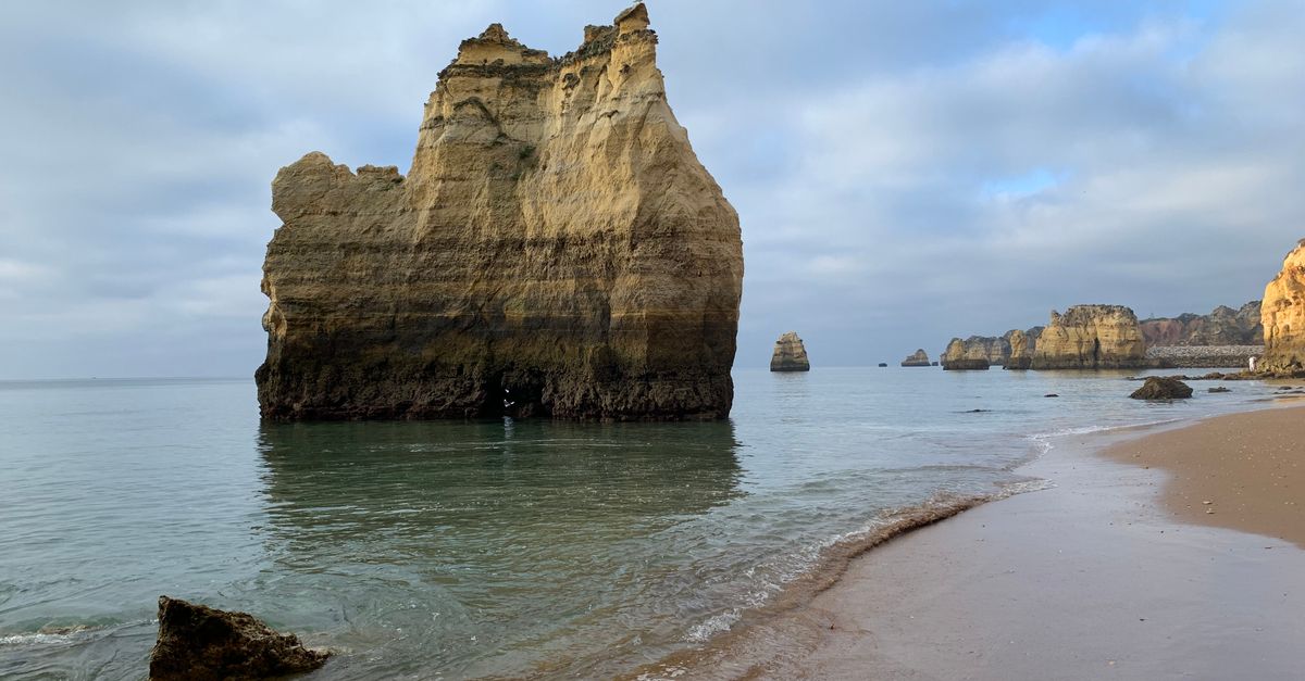
Praia da Falésia
Six kilometers of golden cliff-backed sand between Albufeira and Vilamoura.

Praia da Galé
A wild Atlantic stretch in the Southwest Alentejo park — broad, empty, and the start of the Fishermen's Trail scenery.
We may earn a commission from bookings made through these links. It never changes what we recommend, or what we leave out.